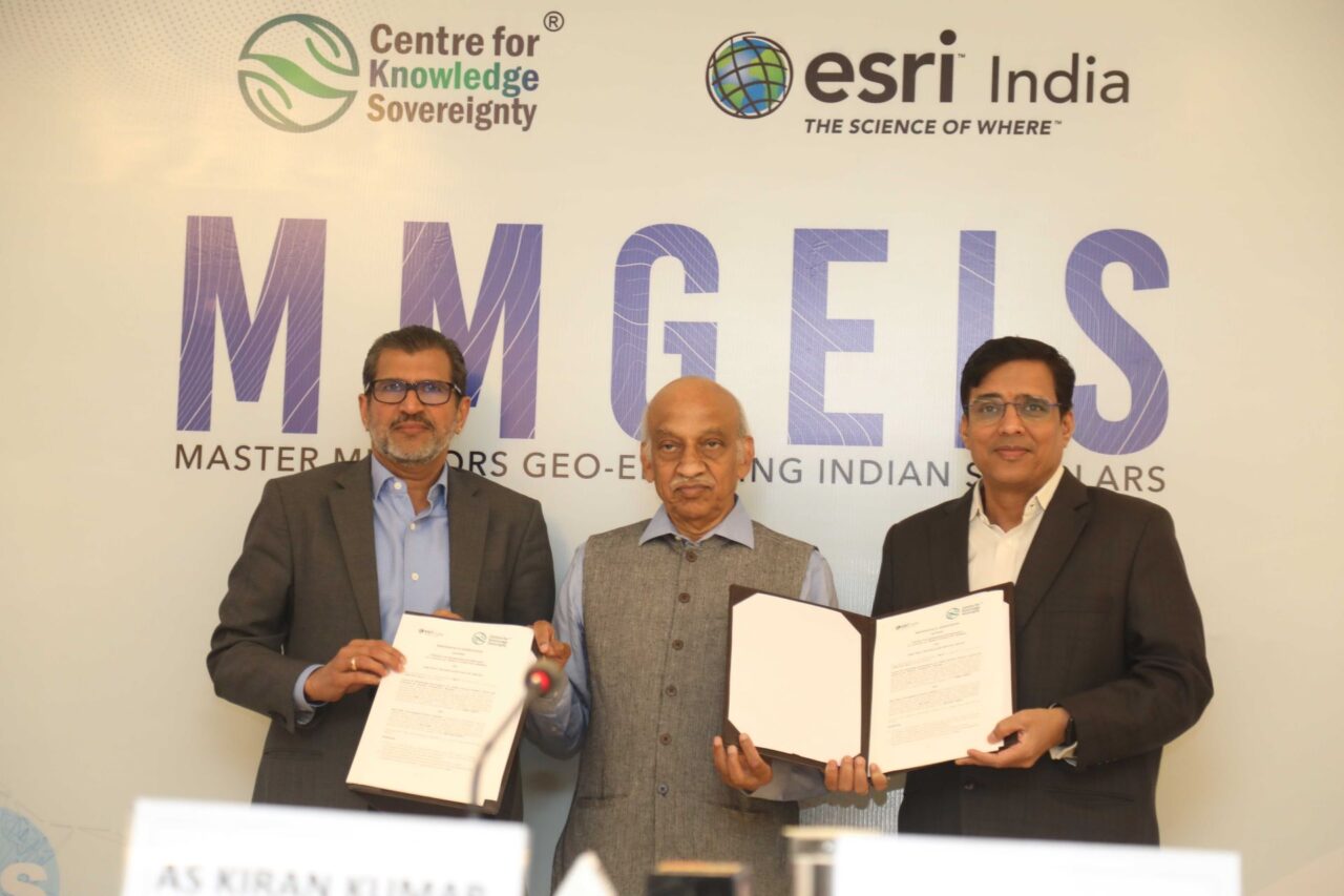
The Centre for Knowledge Sovereignty (CKS) and Esri India Technologies Pvt Ltd announced today the launch of the ‘Master Mentors Geo-Enabling Indian Scholars’ (MMGEIS) program. This initiative aims to position India as a leader in geospatial technology skilling and innovation.
Key Highlights:
- MMGEIS program targets students from 8th grade to undergraduate levels.
- Aimed at making India a global hub for geospatial technology skilling and innovation.
- Focus on fostering a strong IP framework to enhance patent creation in India.
- Program includes mentorship from eminent scientists and innovators.
- Pilot project launching in January 2024, with full roll-out from June 2024.
- Aligned with the National Education Policy’s focus on experiential learning.

The MOU for this collaborative venture was signed by Shri Vinit Goenka, Secretary, CKS, and Shri Agendra Kumar, Managing Director, Esri India. The signing ceremony was graced by Shri Kiran Kumar, former Chairman of ISRO.
The program aims to enable up to 1 lakh students annually, enhancing geospatial awareness at school and college levels. It will also encourage next-generation geospatial research and innovation. Students will be provided with vision talks, interaction with Master Mentors, one-on-one mentoring by experts, and interactive activities.
Shri Vinit Goenka, Secretary, CKS, emphasized the program’s potential to foster personal growth, curiosity, critical thinking, and problem-solving skills in students. Shri Agendra Kumar, Managing Director, Esri India, expressed his excitement about the collaboration, noting the significant role of GIS technologies in various sectors and the program’s contribution to India’s development.
Shri AS Kiran Kumar, Member, Space Commission and Former Chairman of ISRO, also shared his views, anticipating a surge in patents filed by young Indians as a result of the program. These patents are expected to span various fields, reflecting India’s growing stature in the global arena.
Overall, the MMGEIS program is set to enhance India’s capabilities in spatial data analysis and interpretation, fostering innovative solutions and new intellectual property. This initiative marks a significant step in boosting India’s innovation index, economic growth, and societal progress.


Add Comment